
















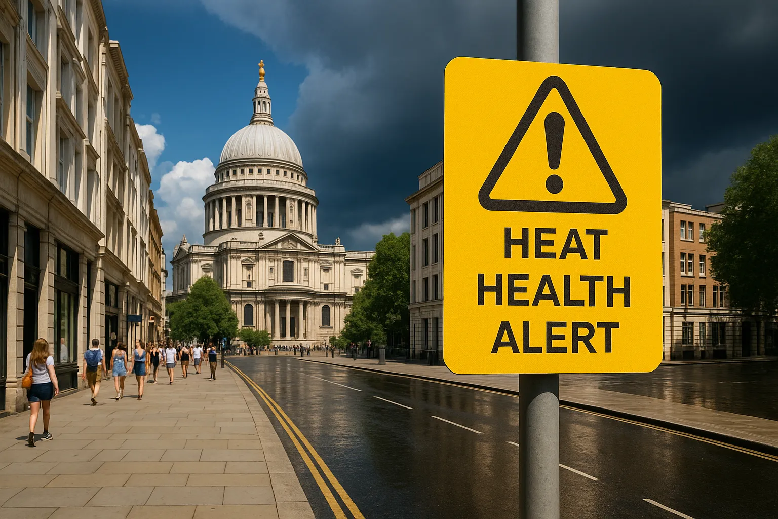
Story Highlight
– Yellow heat alerts issued across parts of the UK.
– Alerts remain in effect until Sunday morning.
– Health risks increase for vulnerable individuals.
– Temperatures reach 29C in London, 28C elsewhere.
– Showers expected to bring cooler weather on Sunday.
Full Story
A yellow heat health alert has been issued across several regions of the United Kingdom, despite the expectation of rain over the coming weekend. These alerts, which were implemented at 9 am on Friday, will remain in effect until 9 am on Sunday and cover areas including the East Midlands, West Midlands, South East, South West, the east of England, and London.
The UK Health Security Agency (UKHSA) cautioned that the prevailing high temperatures could impact health and social care services, posing risks particularly to vulnerable individuals. Alongside the heat advisories, health officials have also raised concerns regarding an increase in water-related incidents, such as cold water shock and potential drowning.
On Saturday, temperatures in London are forecast to peak at 29°C, with Birmingham and Norwich expected to see slightly lower highs of 28°C. Such warmth follows a streak of extreme heat, encapsulated by three successive heatwaves and one of the driest springs on record, which has led to hosepipe bans across various regions of the country.
Weather predictions suggest that rain will start to come in across Scotland, Wales, and Northern Ireland on Saturday evening, gradually extending into other parts of the UK by Sunday. Steve Willington, the chief forecaster at the Met Office, highlighted that high-pressure systems have dominated the UK’s weather conditions lately, resulting in persistently high temperatures and notably dry weather for many.
Willington remarked, “However, we will begin to see a modest change as a weak weather front pushes south across the UK on Saturday bringing some much-needed rain, albeit light and mainly concentrated in the North and West.” He also mentioned that behind this weather front, a new air mass bringing showers—some potentially heavy and thundery—would follow.
Greg Wolverson, the deputy chief forecaster at the Met Office, provided further insight, indicating that while cooler weather is set to arrive from Sunday onwards, average temperatures for the season would prevail. “Although there is a return to rain in the forecast, we have just come out of an exceptionally dry spell and the forecast rain is unlikely to be widespread or substantial,” he noted. Many areas, particularly in southern England, may continue to experience drier conditions for an extended period.
This heat alert arrives at a time when millions of motorists are preparing for summer trips. According to the AA, approximately 6.3 million drivers are expected to embark on road journeys exceeding 100 miles from Friday through the following Thursday. In anticipation of increased traffic, the Port of Dover is bracing for a busy weekend but has made efforts to mitigate delays linked to the new EU border checks.
The Met Office’s weather forecast for Saturday indicates a band of rain moving southeast across Scotland, transitioning into more showery conditions. Meanwhile, the southern regions are projected to stay dry, sunny, and warm, with fresh weather moving in after the rain.
As for Sunday through Tuesday, the outlook suggests a return to cooler conditions, featuring sunny spells interspersed with showers. The northern parts of the UK can expect continuing changeable weather at the start of the week, while southern areas may see a return to dry and warmer conditions.
As health officials emphasize the importance of staying safe during periods of excessive heat, individuals are advised to take precautions, which include staying hydrated and checking on vulnerable family members and neighbours. With the summer holiday period in full swing, the interplay between heat and rainfall is poised to shape the weekend for many, whether through outdoor activities or transit delays.
The ongoing monitoring of weather patterns will help authorities and communities respond effectively to the challenges posed by seasonal changes. As rain makes its entrance after a prolonged dry spell, the focus on public safety and preparedness remains vital in navigating the fluctuating weather conditions in the UK.
Our Thoughts
The article highlights the issuance of heat health alerts and potential risks associated with high temperatures, including impacts on health and water-related incidents. To avoid risks associated with extreme heat, several proactive measures could be implemented:
1. **Risk Assessments**: Workplaces and public facilities should conduct thorough risk assessments in accordance with the Health and Safety at Work Act 1974, focusing on the impacts of extreme weather on vulnerable populations.
2. **Communication**: Increased communication about heat risks and safety measures should be mandated for public health agencies. Ensuring that vulnerable groups are aware of safety protocols can help mitigate risks of heatstroke and dehydration.
3. **First Aid Training**: Facilities, especially in health and social care, should ensure staff are trained in first aid for heat-related illnesses, complying with the Management of Health and Safety at Work Regulations 1999.
4. **Emergency Planning**: Local authorities should review and enhance emergency plans under the Civil Contingencies Act 2004 to address health emergencies arising from heatwaves.
5. **Water Safety Campaigns**: Increased emphasis on water safety and drowning prevention campaigns is necessary, especially in peak summer months, aligning with the Health and Safety (Miscellaneous Amendments) Regulations 2002.
By addressing these areas, the likelihood of incidents related to extreme weather conditions can be reduced.